Two weeks ago...
-
...I was picking poblano and jalapeno peppers...


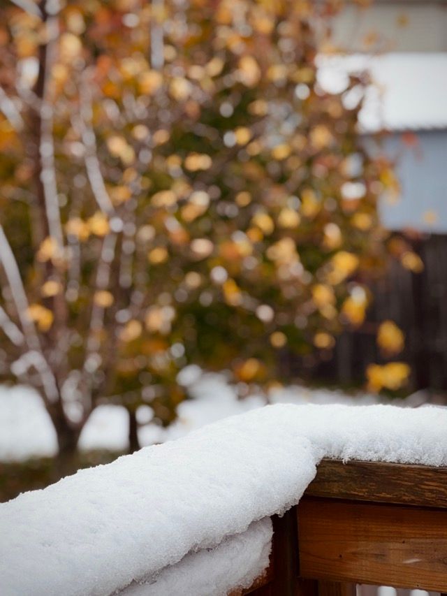
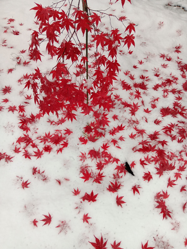
This morning we woke up to this:
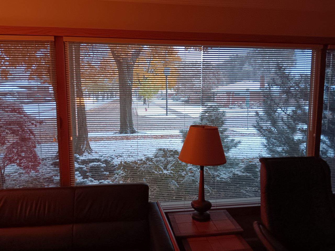
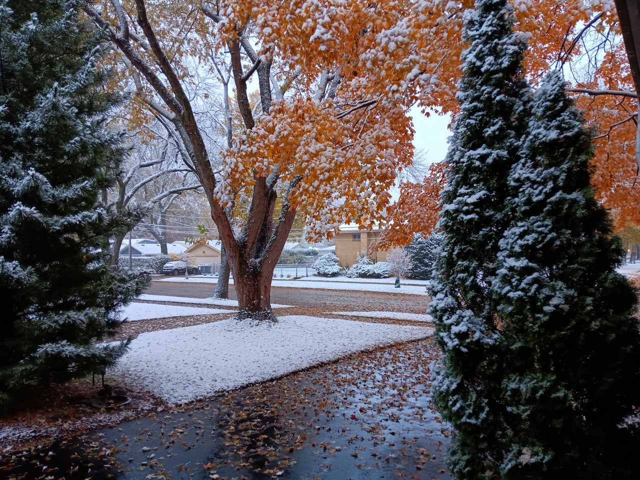
Lake snow. Possible thunder snow tonight with accumulation of 3 to 7 inches. The leaves are still on the trees, so it's the worst time for heavy snow. The weight can break the branches.
-
That storm is supposed to hit here about 10 PM.
Brought stuff in and covered things up yesterday. Took a little Rosemary out of its pot and stuck it in the ground because my neighbor has one that recovers every year. We shall see.
Landscapers coming tomorrow replace the cherry tree that died, add more rocks, change the grade in one area and add a weeping Norway Spruce as a focal point through the dining room window. Probably waited too long to call them but we’ll see how it goes.
It’s not all that cold yet so it may work out.
@Steve-Miller said in Two weeks ago...:
That storm is supposed to hit here about 10 PM.
I wondered if it was going to hit you guys.
Don't go fishing today. From the NWS:
URGENT - MARINE WEATHER MESSAGE
National Weather Service Cleveland OH
925 AM EST Sun Nov 9 2025
LEZ142-143-092230-
/O.CON.KCLE.SC.Y.0063.000000T0000Z-251110T0000Z/
Maumee Bay to Reno Beach OH-Reno Beach to The Islands OH-
925 AM EST Sun Nov 9 2025
...SMALL CRAFT ADVISORY REMAINS IN EFFECT UNTIL 7 PM EST THIS
EVENING...
-
WHAT...North winds 20 to 25 knots and waves 2 to 4 feet.
-
WHERE...The nearshore waters of Lake Erie from Maumee Bay to
The Islands OH.
-
WHEN...Until 7 PM EST this evening.
-
IMPACTS...Conditions will be hazardous to small craft.
PRECAUTIONARY/PREPAREDNESS ACTIONS...
Inexperienced mariners, especially those operating smaller
vessels, should avoid navigating in hazardous conditions.
&&
$$
For more information from the National Weather Service visit
-
-
Chicago - "Dangerous to impossible travel conditions due to intense lake effect snow expected. Snow rates in excess of 3 inches per hour, localized total snow accumulations of 12-18 inches and northerly wind gusts in excess of 30 mph are expected."
3 tunings scheduled tomorrow - let's see if I make any of them!
@Rontuner said in Two weeks ago...:
3 tunings scheduled tomorrow - let's see if I make any of them!
I predict tomorrow will be a soup day for us Chicagoans.
Snow rates in excess of 3 inches per hour will cripple travel, including during the Monday morning commute. Strong northerly wind gusts in excess of 30 mph will lead to greatly reduced visibility, especially near the Lake Michigan shoreline.
Periods of thundersnow will occur, as well.
- ADDITIONAL DETAILS...Lake effect snow is often very localized, with conditions varying from safe to dangerous across just a few miles. Snow totals in the Winter Storm Warning area may vary considerably from one location to the next.
-
The storm was supposed to miss us but the models have been all over the place so I’m not surprised that it’s been snowing all day. Not much accumulation though.


Hello! It looks like you're interested in this conversation, but you don't have an account yet.
Getting fed up of having to scroll through the same posts each visit? When you register for an account, you'll always come back to exactly where you were before, and choose to be notified of new replies (either via email, or push notification). You'll also be able to save bookmarks and upvote posts to show your appreciation to other community members.
With your input, this post could be even better 💗
Register Login